 Lýsigagnagátt
geoscientificInformation
Type of resources
Available actions
Topics
INSPIRE themes
Keywords
Contact for the resource
Provided by
Years
Formats
Representation types
Update frequencies
status
Scale
Resolution
-
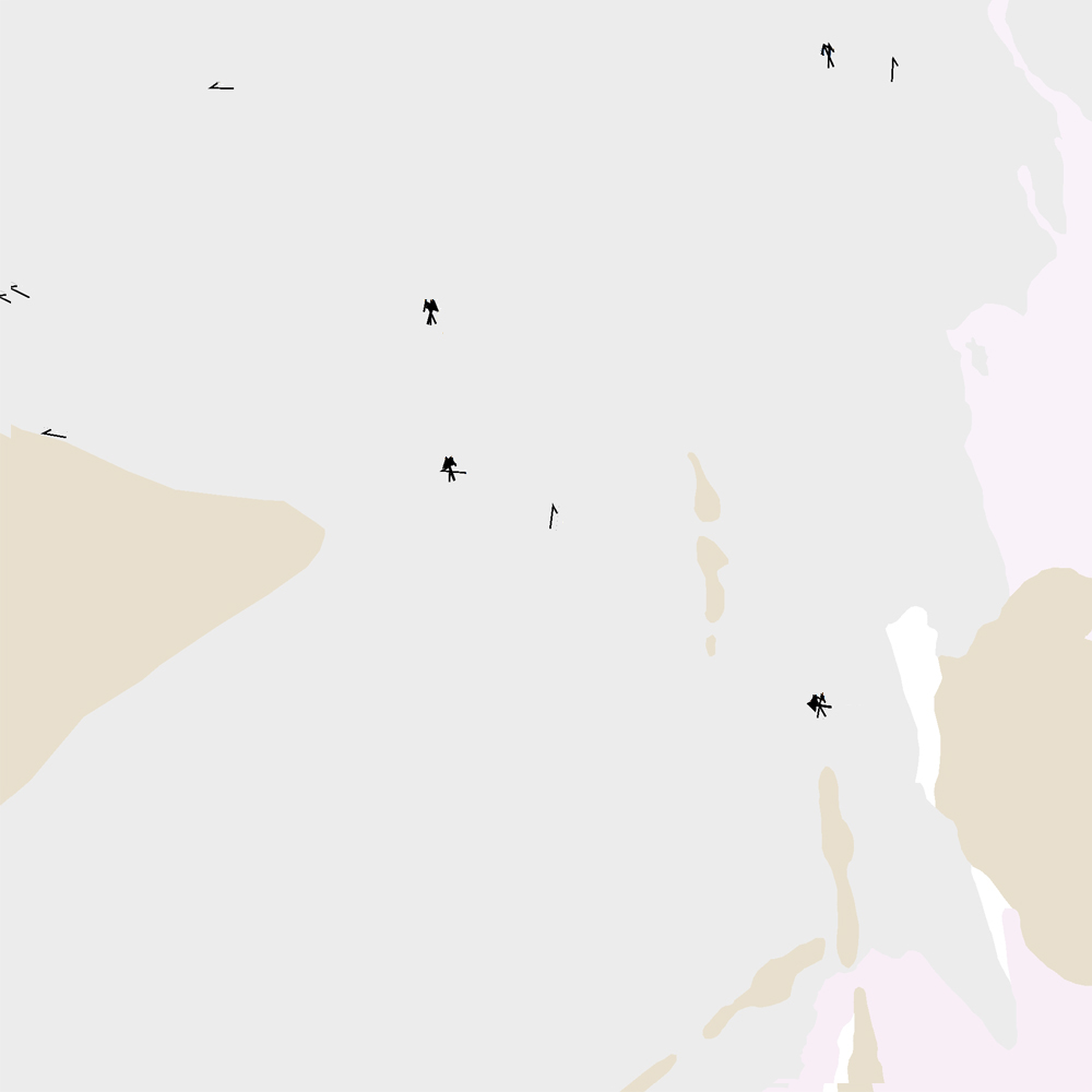
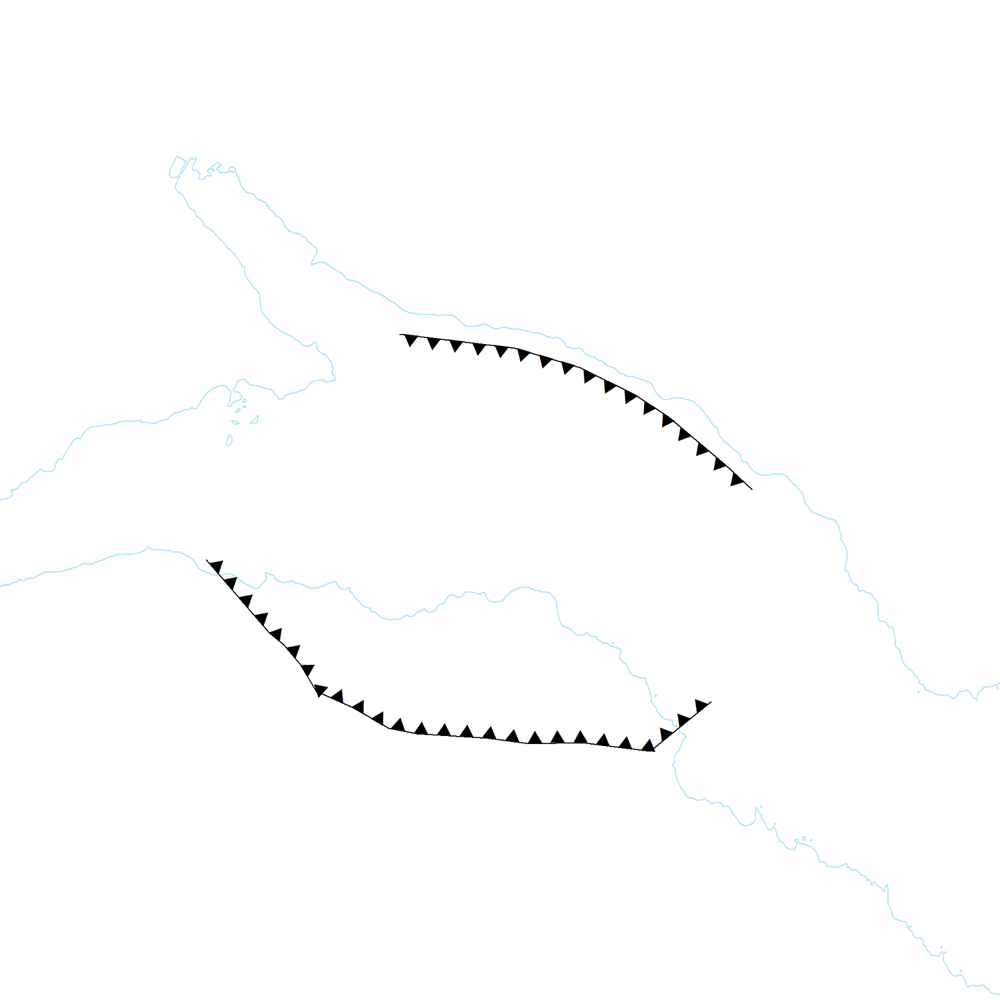
Þekja [layer] j100v_vesturgosbelti_jardgrunnur_1utg_p: Jökulrákir á Vesturgosbelti Íslands. [Glacial striations of the Western Volcanic Zone of Iceland.] Gögn eru flokkuð eftir ÍST120:2012 staðlinum, nema fitjueigindir: jokulrakastefna: stefna jökulráka er mæld í kortlagningu og sýnir skriðstefnu jökuls. aldur: ef fleiri en ein stefna er á rákunum er metinn afstæður aldur: yngri, aldur og aldur02. [The data follows the ÍST120:2012 data standard with these additional feature attributes: jokulrakastefna: indicates the direction of striations found during mapping. aldur: if more than one set of striations is found this indicates the relative age: yngri (younger), aldur (older), and aldur02 (oldest, if 3 sets are present).]
-
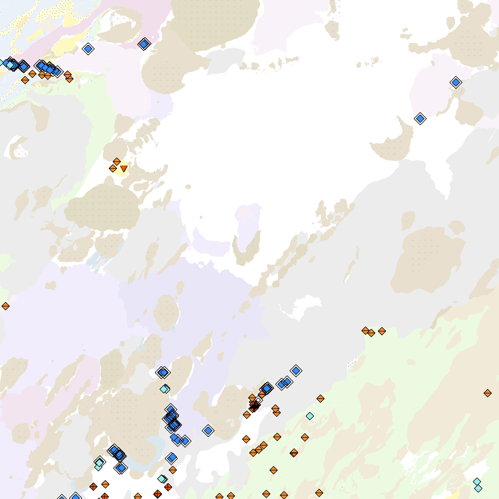
Þekja [layer] j100v_vesturgosbelti_lindir_1utg_p: Lindir og hverir á Vesturgosbelti Íslands. [Springs and hotsprings of the Western Volcanic Zone of Iceland.] Gögnin sýna laug, hver, lindir, gufu- og leirhver. Gögn eru ekki flokkuð eftir ÍST120:2012 staðlinum. Hér er flokkun eða lýsing nýrra fitjueiginda: 'tegUppsprettuISOR': 2: 10–25°C (Laug) 3: 25–50°C (Laug) 4: 50–75°C (Laug) 5: 75–98°C (Laug) 6: 98–100°C (Hver) 20: Hrúður 30: Leir- og gufuhverir 7212: Lindir 10–100 l/s 7213: Lindir >100 l/s 7214: Lindasvæði 100–1000 l/s 7215: Lindasvæði >1000 l/s 'tegUppsprettuNI': 1: Lindir 4: Laug (10–98°C) 5: Hver (98–100°C) 6: Leir- og gufuhver 'vatnshiti': Hitastig vatnsins við lindina, mælieining: °C. 'gerdiISOR': Grágrýtislind/Grágrýtislindir: Lind/lindir í hrauni eldra en síðasta jökulskeið, Hraunalind/Hraunalindir: Lind/lindir í nútímahrauni, Móbergslind/Móbergslindir: Lind/lindir í móbergi, Sprungulind: Lind í sprungu. [This data includes cold, warm and hot springs, steam and mud springs. The data does not follow the ÍST120:2012 data standard. Explanation and classification of the new feature attributes: 'tegUppsprettuISOR': 2: 10–25°C (Warm spring) 3: 25–50°C (Warm spring) 4: 50–75°C (Warm spring) 5: 75–98°C (Warm spring) 6: 98–100°C (Boiling spring) 20: Hot spring deposits 30: Mud and steam spring 7212: Cold spring 10–100 l/s 7213: Cold spring >100 l/s 7214: Cold spring area 100–1000 l/s 7215: Cold spring area >1000 l/s 'tegUppsprettuNI': 1: Cold spring 4: Warm spring (10–98°C) 5: Boiling spring (98–100°C) 6: Mud and steam spring 'vatnshiti': Temperature of the spring in °C. 'gerdiISOR': Grágrýtislind/Grágrýtislindir: Spring(s) in 'grey basalt' lavas older than the last glacial, Hraunalind/Hraunalindir: Spring(s) in postglacial lavas, Móbergslind/Móbergslindir: Spring(s) in hyaloclastite tuff, Sprungulind: Spring in tectonic fissure.]
-
Þekja [layer] j100v_vesturgosbelti_gigar_1utg_li: Gígar á Vesturgosbelti, línulag. [Craters of the Western Volcanic Zone, line data.] Gögn sem sýna gígaröð og útlínur. Gerður er greinarmunur á gossprungum, Holósen útlínur gíga (yngri og eldri en 7000 ára) og gígar frá Kvarter (kuldaskeið/hlýskeiðs). [Data detailing crater rows and outlines. This includes distinctions between eruptive fissure rows, Holocene crater outlines (younger and older than 7000 years), and quarternary (glacial/interglacial) craters.]
-
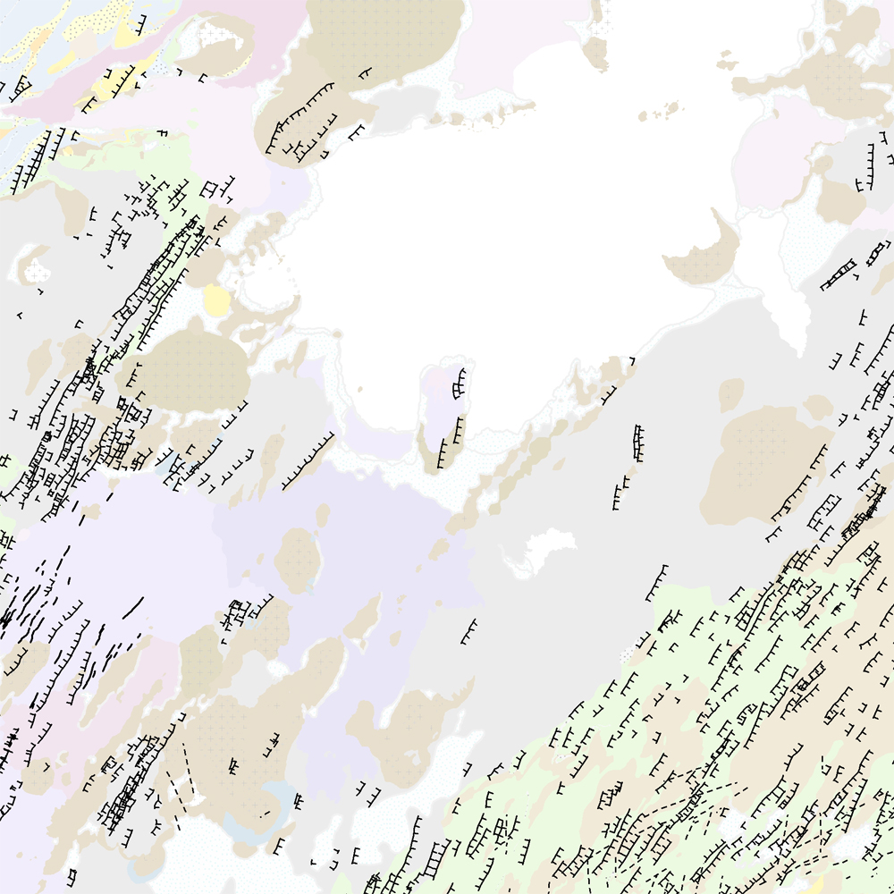
Þekja (layer) j100v_austurland_hoggun_1utg_li: Sprungur og misgengi. [Cracks and faults.] Gögn með sprungum og misgengjum kortlögð í ýmsum kortlagningaverkefnum. [Data showing cracks and faults mapped in various mapping projects.]
-
Þekja (layer) j100v_austurland_gigar_1utg_li: Útlínur öskjurima útkulnaðra megineldsstöðva. [Outlines of calderas of extinct volcanos.] Útlínur miða við höggun, dreifingu þursabergs og móbergsmyndana. [The lines are based on local tectonics, distribution of agglomerates and hyaloclastites.]
-
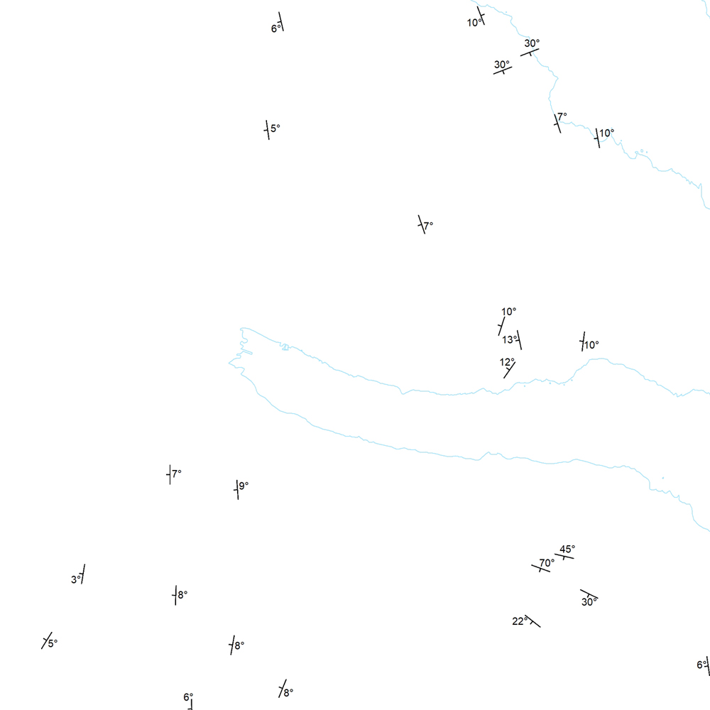
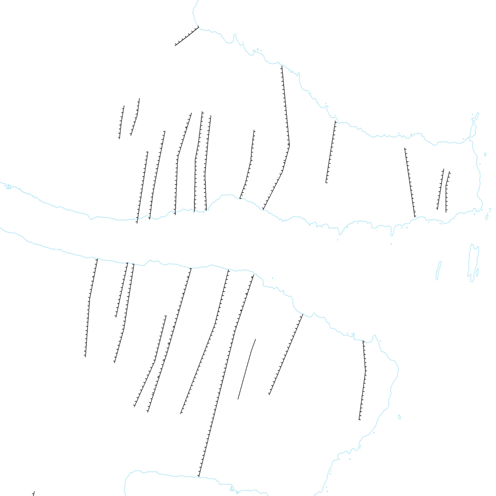
Þekja (layer) j100v_austurland_strikHalli_1utg_p: Strik og hallastefna jarðlaga. [Strike and dip of the deposits.] Staðsetning mælinga á striki og hallastefnu jarðlaga á Austurlandi. [Locations of measurements of strike and dip of the deposits in Eastern Iceland.]
-
Þekja [layer] j100v_vesturgosbelti_jardgrunnur_1utg_li: Jarðgrunnsgögn af Vesturgosbelti Íslands, línulag. [Surface deposits of the Western Volcanic Zone of Iceland, line data.] Kortlagðar eru setmyndanir á yfirborði, s.s. jökulgarðar og jökulset. Nýr kóði fyrir fitjueigindina 'Jarðmyndun og landmótun lausra jarðefna' (jardmLandmJardefna): jm08 = ummerki jökuljaðars. [Mapped surface deposits of moraines and glacial sediments. New code for feature attribute 'Jarðmyndun og landmótun lausra jarðefna' (jardmLandmJardefna): jm08 = traces of ice margin.]
-
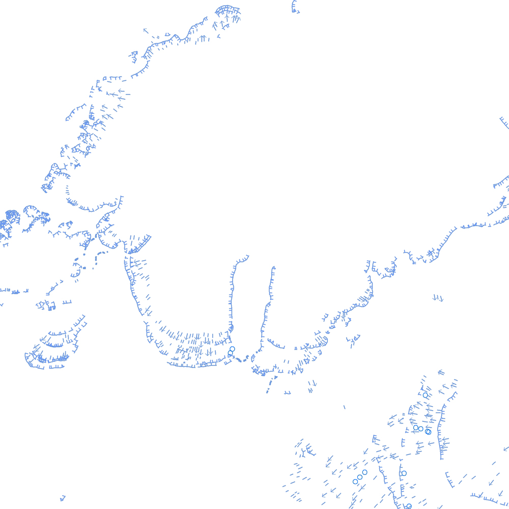
Þekja [layer] j100v_vesturgosbelti_hoggun_1utg_li: Höggun á Vesturgosbelti Íslands, línulag. [Tectonic of the Western Volcanic Zone Icelands, line features.] Gögn sýna sprungur, misgengi, gjár, mislægi og brotalínur, kortlagt í mkv. 1:100.000. [Tectonic line features such as faults, fractures, fissures, unconformity, and fracture lines mapped at 1:100,000 scale.]
-

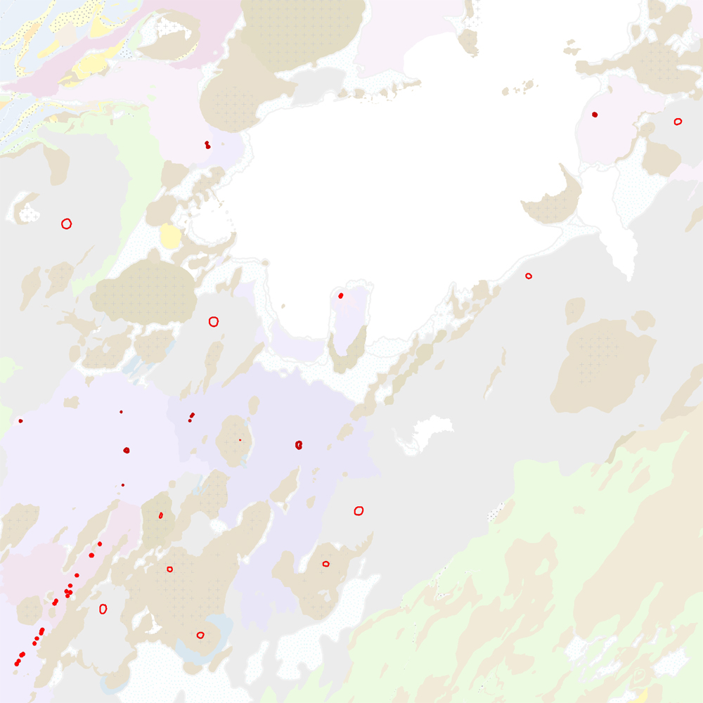
Þjónustan inniheldur staðsetningu og upplýsingar um borholur og gryfjur sem eru skráðar hjá Vegagerðinni.
-
Þekja [layer] j100v_vesturgosbelti_jardgrunnur_1utg_fl: Jarðgrunnsgögn af Vesturgosbelti Íslands. [Surface deposits of the Western Volcanic Zone of Iceland.] Laus setlög, svo sem jökulgarðar og árset. [Unconsolidated sediments including glacial morianes and river sediments.]