 Lýsigagnagátt
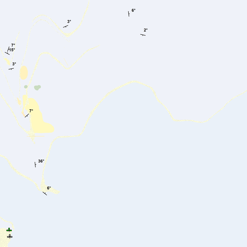
ni_j100v Steingervingar og strik og halli á Vesturgosbelti – 1:100.000
Þekja [layer] j100v_vesturgosbelti_berggrunnur_1utg_p:
Steingervingar og strik og halli. [Fossils and strike and dip.]
Gögnin innihalda halli, strík og hallaáttir ásamt þekktum steingervingum.
Stríkstefna (fitjueigindi 'strikstefna'): 0-359° - fylgir 'right-hand rule'. Hallastefnu eru +90° frá stríksetfna.
[The data includes dip, strike and dip directions along with known fossil locations.
Strike direction (feature attribute 'strikstefna') follows the right-hand rule where dip direction is +90° from strike.]
Simple
- Date ( Publication )
- 2021-12-01
- Edition
- 1. útgáfa
- Status
- On going
- Maintenance and update frequency
- As needed
- Keywords ( Theme )
-
- Keywords ( Place )
-
- National
- GEMET - INSPIRE themes, version 1.0 ( Theme )
-
- Geology
- Access constraints
- Copyright
- Use constraints
- Copyright
- Other constraints
-
http://www.ni.is/rannsoknir/landupplysingar/skilmalar
Gögnin eru öllum opin – no limitations on public access.
- Spatial representation type
- Vector
- Denominator
- 100000
- Metadata language
- en
- Character set
- UTF8
- Topic category
-
- Geoscientific information
- Begin date
- 2019-05-01
- End date
- 2021-06-01
))
- Reference system identifier
- EPSG / 3057 / 7.6.1(9.0.0)
- Distribution format
-
-
ESRI ArcGIS File Geodatabase
(
1.010.8.1.14362
)
-
ESRI Shapefile
(
1.010.8.1.14362
)
-
ESRI ArcGIS File Geodatabase
(
1.010.8.1.14362
)
- OnLine resource
- Niðurhalssíða Náttúrufræðistofnunar Íslands ( WWW:LINK-1.0-http--link )
- OnLine resource
- Skilmálar (PDF) – Licence (PDF) ( WWW:LINK-1.0-http--link )
- OnLine resource
- NÍ kortasjá 'Jarðfræði Íslands' ( WWW:LINK-1.0-http--link )
- OnLine resource
- Vefur Náttúrufræðistofnunar ( WWW:LINK-1.0-http--link )
- OnLine resource
- Íslenskt fitjuskrá '600 Jarðmyndun og landmótun' sem tengjast staðlinum ÍST 120 (PDF) ( WWW:LINK-1.0-http--link )
- Hierarchy level
- Feature
- Statement
-
Gögn úr vettvangsvinnu jarðfræðinga NÍ og ÍSOR, ásamt samantekt á birtum og óbirtum gögnum Kjartansson (1965), Sæmundsson og Noll (1974), Sinton o.fl. (2005) og Jakobsson (2019). Eldri gögn kortsins hafa verið yfirfarin og endurskoðuð.
[Data is compiled from field observations by geologists at NÍ and ÍSOR, as well as previously published and unpublished datasets including Kjartansson (1965), Sæmundsson and Noll (1974), Sinton et al. (2005), and Jakobsson (2019). The map has been checked and reviewed internally.]
Heimildir [Sources]:
- Jóhannesson, H. 1994. Geological map of Iceland, sheet 2, West-Iceland, second edition. Icelandic Museum of Natural History and Iceland Geodetic Survey, Reykjavik.
- Kjartansson, G. 1965. Geological map of Iceland, sheet 5, Central Iceland. Icelandic Museum of Natural History and Iceland Geodetic Survey, Reykjavik.
- Sæmundsson K. and H. Noll 1974. K/Ar ages of rocks from Húsafell, western Iceland,and the development of the Húsafell central volcano. Jökull 24,40–58.,
- Sinton, J., Grönvold, K. and Sæmundsson, K. 2005. Postglacial eruptive history of the western volcanic zone, Iceland. Geochemistry, Geophysics, Geosystems, 6(12).
- Sveinn P. Jakobsson 2019. Geological map of the western volcanic zone, Iceland.
gmd:MD_Metadata
- File identifier
- da0b236a-7df8-4c62-aef5-376d15467b21 XML
- Metadata language
- en
- Character set
- UTF8
- Parent identifier
- NI_J100v Jarðfræðikort af Vesturgosbelti 1. útgáfa – 1:100.000 eeca904b-c6b9-42b2-827a-184d1b8ff46e
- Date stamp
- 2024-08-19T16:32:43
- Metadata standard name
- ISO 19115:2003/19139
- Metadata standard version
- 1.0
Overviews
Spatial extent
Provided by
