 Lýsigagnagátt
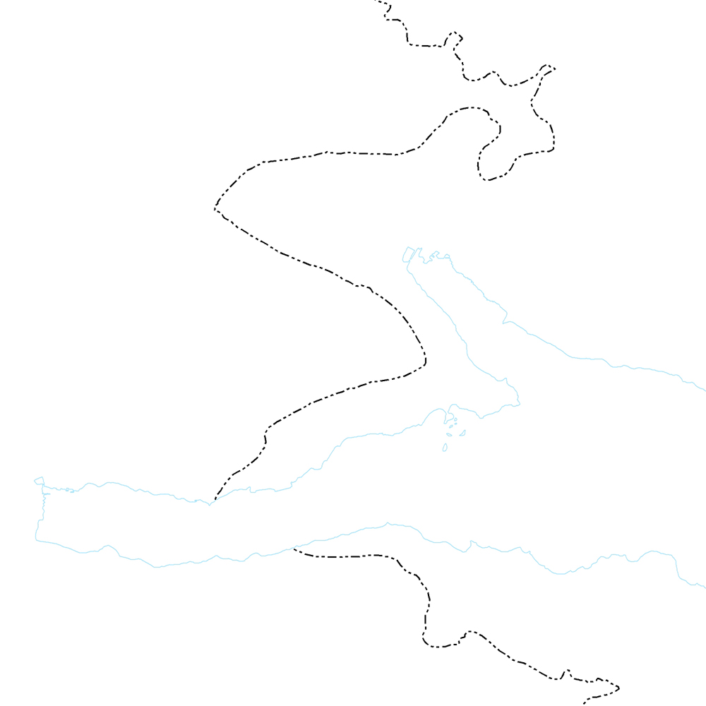
ni_j100v Segulanomalía á Austurlandi – 1:100.000
Þekja (layer) j100v_austurland_anomaliaC5n_1utg_li:
Neðri mörk segulanomalíunar Chron 5. [Lower limits of magnetic anomaly Chron 5.]
Útlínan fylgir efstu hraunum Grjótárólivínbasaltsyrpunnar.
[The line follows the uppermost lava flows of Grjótá olivine basalt group.]
Simple
- Date ( Publication )
- 2019-12-31
- Edition
- 1. útg.
- Other citation details
- Tilvísun: Birgir V. Óskarsson og Martin J. Riishuus 2019. Jarðfræðikort af Austurlandi. 1:100.000. 1. útg. Garðabær: Náttúrufræðistofnun Íslands. Bibliograðhic reference: Óskarsson, B.V. and Riishuus, M.S. 2019. Geological Map of Eastern Iceland. 1:100.000. 1st edition. Garðabær: Icelandic Institute of Natural History.
- Collective title
- Jarðfræðikort af Austurlandi 1. útg. – 1:100.000 – NI_J100v_Austurland_1.utg
- Status
- On going
- Maintenance and update frequency
- As needed
- Keywords ( Place )
-
- National
- GEMET - INSPIRE themes, version 1.0 ( Theme )
-
- Geology
- Keywords ( Theme )
-
- GSL
- GSL flokkun ( Theme )
- Access constraints
- Copyright
- Use constraints
- Copyright
- Other constraints
- Gögnin eru öllum opin – no limitations on public access.
- Other constraints
- Skilmálar/Licence: http://www.ni.is/rannsoknir/landupplysingar/skilmalar
- Spatial representation type
- Vector
- Denominator
- 100000
- Metadata language
- is
- Character set
- UTF8
- Topic category
-
- Geoscientific information
))
- Begin date
- 2019-06-30
- End date
- 2019-12-31
- Reference system identifier
- EPSG / 3057
- Distribution format
-
-
ESRI ArcGIS FileGDB
(
10.2.0.3389
)
-
ESRI Shapefile
(
10.2.0.3389
)
-
ESRI ArcGIS FileGDB
(
10.2.0.3389
)
- OnLine resource
- Niðurhalssíða Náttúrufræðistofnunar Íslands ( WWW:LINK-1.0-http--link )
- OnLine resource
- NÍ kortasjá 'Jarðfræði Íslands' ( WWW:LINK-1.0-http--related )
- OnLine resource
- Vefur Náttúrufræðistofnunar ( WWW:LINK-1.0-http--link )
- OnLine resource
- Íslenskt fitjuskrá '600 Jarðmyndun og landmótun' sem tengjast staðlinum ÍST 120 (PDF) ( WWW:LINK-1.0-http--link )
- OnLine resource
- Skilmálar (PDF) – Licence (PDF) ( WWW:LINK-1.0-http--link )
- OnLine resource
- Skoða gögn í landupplýsingagátt ( WWW:LINK-1.0-http--link )
- Hierarchy level
- Dataset
- Statement
-
Lagið fylgir efstu hraunum Grjótárólivínbasaltsyrpunnar og er byggt á segultímatali sem birt var í grein eftir Duncan, R. A. & Helgason, J.1998, Precise dating of the Holmatindur cooling event in eastern Iceland: Evidence for mid-Miocene bipolar glaciation, J. Geophys. Res., American Geophysical Union, 103(B6), 12, 397-12, 404.
[The layer is drawn following the upper parts of the Grjótá olivine basalt group where the base of Chron 5 is located. The geomagnetic profile was based on Duncan, R. A. & Helgason, J.1998, Precise dating of the Holmatindur cooling event in eastern Iceland: Evidence for mid-Miocene bipolar glaciation, J. Geophys. Res., American Geophysical Union, 103(B6), 12, 397-12, 404.]
gmd:MD_Metadata
- File identifier
- ba7d0df9-9161-4f19-85d3-5443675ce4f6 XML
- Metadata language
- en
- Character set
- UTF8
- Parent identifier
- NI_J100v Jarðfræðikort af Austurlandi 1. útgáfa – 1:100.000 c907fbd3-7420-4c0b-81e4-b877514ba8c5
- Hierarchy level
- Dataset
- Date stamp
- 2024-08-19T13:36:08
- Metadata standard name
- INSPIRE Metadata Implementing Rules
- Metadata standard version
- Technical Guidelines based on EN ISO 19115 and EN ISO 19119 (Version 1.2)
Overviews
Spatial extent
Provided by
