 Lýsigagnagátt
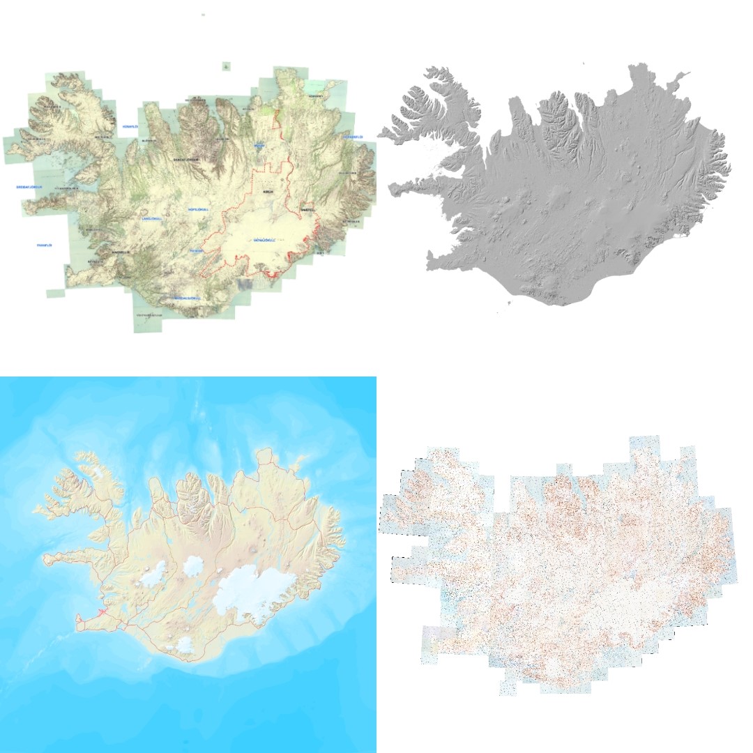
Rastakort Náttúrufræðistofnunar
Vefþjónn fyrir landfræðileg gögn Náttúrufræðistofnun. Hér eru nýjustu útgáfur gagna Náttúrufræðistofnun aðgengilegar. Vefþjónnin er byggður á opnum staðli OGC og hægt er að nálgast gögnin á vefþjóninum í gegnum ýmsar tegundir þjónusta, s.s. WFS, WMS, WMTS.
Simple
Identification info
- Date ( Publication )
- 2020-06-10
- Keywords
-
- WMS
- Vefkort LMÍ
- Opin gögn LMÍ
- Open data
- GSL
- INSPIRE
- GEMET - INSPIRE themes, version 1.0 ( Theme )
- Use constraints
- Other restrictions
- Other constraints
- no conditions to access and use
- Other constraints
- The Authority provides a worldwide, free, non-exclusive, and unlimited right of access to data, which is free, inter alia. can: copied, distributed and published, changed and compounded with other material - Used commercially and non-commercially. Data may not be used in such a way that the authority may approve, support, recommend or market the user, the user's products or services. It must be ensured that the use of data is in accordance with Danish law.
- Access constraints
- Other restrictions
- Other constraints
- No limitations on public access
- Service Type
- view
N
S
E
W
))
Coupled Resource
- Operation Name
- GetCapabilities
- Identifier
- e6712430-a63c-4ae5-9158-c89d16da6361
- Coupling Type
- Tight
Contains Operations
- Operation Name
- GetCapabilities
- Distributed Computing Platforms
- Web services
Contains Operations
- Operation Name
- GetCapabilities
- Distributed Computing Platforms
- Web services
- Reference system identifier
- http://www.opengis.net/def/crs/EPSG/0/3057
- Reference system identifier
- http://www.opengis.net/def/crs/EPSG/0/3857
- Distribution format
-
-
Geoserver format
(
1.0
)
-
Geoserver format
(
1.0
)
- OnLine resource
- https://gis.lmi.is/mapcache/isn93/wms?request=GetCapabilities https://gis.lmi.is/mapcache/web-mercator/wms?request=GetCapabilities ( OGC:WMS OGC:WMS )
- Hierarchy level
- Service
- Other
- Service
Conformance result
- Date ( Publication )
- 2009-10-19
- Explanation
- This service is not conformant with the INSPIRE Implementing Rules for Network Services.
- Pass
- No
Conformance result
- Date ( Publication )
- 2014-04-17
- Explanation
- See the referenced specification
- Pass
- No
- Statement
- Vinsamlega hafið samband við Fiskistofu vegna nánari upplýsinga.
gmd:MD_Metadata
- File identifier
- 8c1b2047-0fba-4c00-9d2c-74bf804fefa0 XML
- Metadata language
- en
- Character set
- UTF8
- Hierarchy level
- Service
- Hierarchy level name
- Service
- Date stamp
- 2022-02-03T13:28:28
- Metadata standard name
- ISO 19115:2003/19139
- Metadata standard version
- 1.0
Overviews
Ýmsar flýtikortaþjónustur
Spatial extent
N
S
E
W
Provided by

Associated resources
Not available