 Lýsigagnagátt
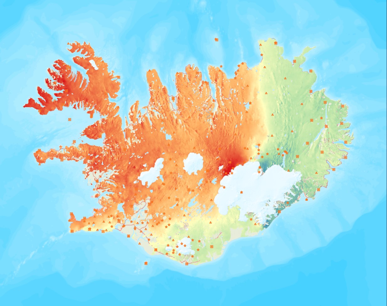
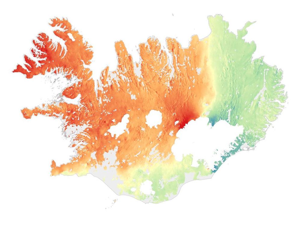
Near-East velocities 2015-2018 / Láréttar jarðskorpuhreyfingar
Average near-East crustal velocities between summer 2015 and summer 2018.
These velocities indicate velocities in the East direction. However, they could be slightly influence by velocities along the North and Up directions and are therefore called near-East. Near-East velocities were derived by decomposing the line-of-sight velocities of six Sentinel-1 interferometric time-series covering Iceland. These time-series used a single master approach and Sentinel-1 images from the following summers (mid-June to end of September): 2015, 2016, 2017, and 2018.
The near-East velocity grid has a 50 m resolution.
Simple
- Date ( Publication )
- 2018-09-09
- Status
- Completed
- Maintenance and update frequency
- Not planned
- Keywords ( Theme )
-
- Opin gögn LMÍ
- Open data
- Grid
- GSL
- INSPIRE
- GEMET - INSPIRE themes, version 1.0 ( Theme )
- Access constraints
- Other restrictions
- Other constraints
- no limitations to public access
- Use constraints
- Other restrictions
- Other constraints
- Attribution 4.0 International (CC BY 4.0)
- Spatial representation type
- Grid
- Denominator
- 50
- Metadata language
- en
- Character set
- UTF8
- Topic category
-
- Geoscientific information
- Begin date
- 2015-06-01
- End date
- 2018-06-01
))
- Reference system identifier
- http://www.opengis.net/def/crs/EPSG/0/3057
- Distribution format
-
-
GeoTIFF
(
1.0
)
-
KML
(
0
)
-
PNG
(
0
)
-
GML
(
3.2.1
)
-
ZIP
(
0
)
-
GeoTIFF
(
1.0
)
- OnLine resource
- Heimasíða Náttúrufræðistofnunar ( WWW:LINK-1.0-http--link )
- OnLine resource
- Niðurhalssíða Náttúrufræðistofnun ( WWW:LINK-1.0-http--link )
- OnLine resource
- Geodetic Map Viewer - Mælingasjá ( WWW:LINK-1.0-http--link )
- OnLine resource
-
LMI_raster:Near_East_velocities_2015_2018
(
OGC:WMS-1.3.0-http-get-capabilities
)
LMI_raster:Near_East_velocities_2015_2018
- Hierarchy level
- Dataset
Conformance result
- Date ( Publication )
- 2010-12-08
- Explanation
- Validation has not been performed.
- Pass
- No
- Statement
- Near-East velocities were derived by decomposing the line-of-sight velocities of six Sentinel-1 interferometric time-series covering Iceland. These time-series used a single master approach and Sentinel-1 images from the following summers (mid-June to end of September): 2015, 2016, 2017, and 2018.
gmd:MD_Metadata
- File identifier
- 78eb8c3c-1bb3-41a2-85a7-db1b2cf1f5d8 XML
- Metadata language
- en
- Character set
- UTF8
- Hierarchy level
- Dataset
- Date stamp
- 2021-12-15T11:10:34
- Metadata standard name
- INSPIRE Metadata Implementing Rules
- Metadata standard version
- Technical Guidelines based on EN ISO 19115 and EN ISO 19119 (Version 1.2)
Overviews
Spatial extent
Provided by
