 Lýsigagnagátt
geoscientificInformation
Type of resources
Available actions
Topics
INSPIRE themes
Keywords
Contact for the resource
Provided by
Years
Formats
Representation types
Update frequencies
status
Scale
Resolution
-
Þekja [layer] j100v_vesturgosbelti_jardgrunnur_1utg_fl: Jarðgrunnsgögn af Vesturgosbelti Íslands. [Surface deposits of the Western Volcanic Zone of Iceland.] Laus setlög, svo sem jökulgarðar og árset. [Unconsolidated sediments including glacial morianes and river sediments.]
-

Snjómokstursleiðir eru fyrirfram skilgreindar leiðir á milli ákveðinna staða. Vegagerðin gefur út upplýsingar um færð á þessum leiðum. Hver leið hefur ákveðið þjónustustig og snjómokstursreglur.
-
Þekja [layer] j100v_vesturgosbelti_hoggun_1utg_li: Höggun á Vesturgosbelti Íslands, línulag. [Tectonic of the Western Volcanic Zone Icelands, line features.] Gögn sýna sprungur, misgengi, gjár, mislægi og brotalínur, kortlagt í mkv. 1:100.000. [Tectonic line features such as faults, fractures, fissures, unconformity, and fracture lines mapped at 1:100,000 scale.]
-
Þekja (layer) j100v_austurland_gigar_1utg_li: Útlínur öskjurima útkulnaðra megineldsstöðva. [Outlines of calderas of extinct volcanos.] Útlínur miða við höggun, dreifingu þursabergs og móbergsmyndana. [The lines are based on local tectonics, distribution of agglomerates and hyaloclastites.]
-
Þekja [layer] j100v_vesturgosbelti_berggrunnurNidurfoll_1utg_fl: Niðurföll í nútímahraunum. [Collapse pits in Holocene lavas.}
-
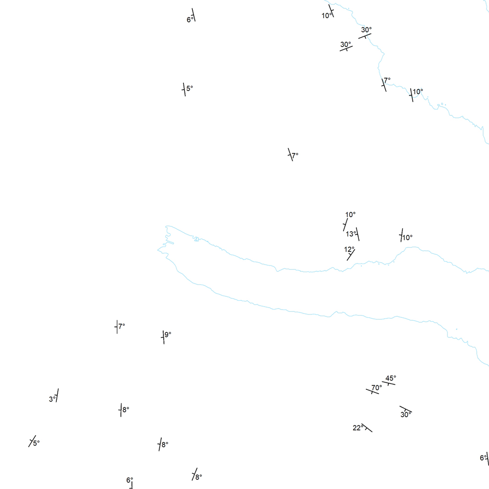
Þekja (layer) j100v_austurland_strikHalli_1utg_p: Strik og hallastefna jarðlaga. [Strike and dip of the deposits.] Staðsetning mælinga á striki og hallastefnu jarðlaga á Austurlandi. [Locations of measurements of strike and dip of the deposits in Eastern Iceland.]
-
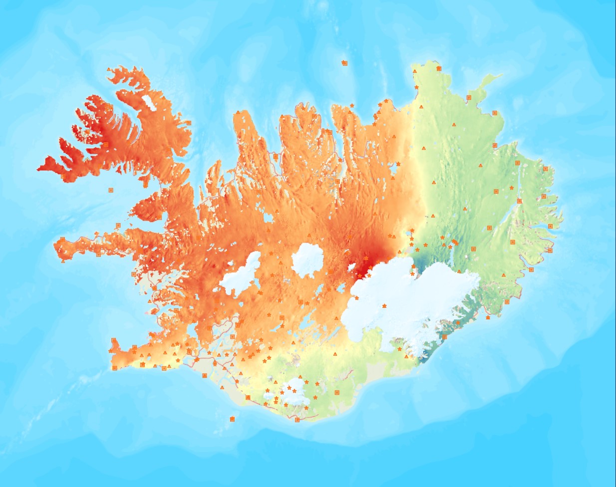
Average near-East crustal velocities between summer 2015 and summer 2018. These velocities indicate velocities in the East direction. However, they could be slightly influence by velocities along the North and Up directions and are therefore called near-East. Near-East velocities were derived by decomposing the line-of-sight velocities of six Sentinel-1 interferometric time-series covering Iceland. These time-series used a single master approach and Sentinel-1 images from the following summers (mid-June to end of September): 2015, 2016, 2017, and 2018. The near-East velocity grid has a 50 m resolution.
-
Þekja (layer) j100v_austurland_millilog_1utg_li:: Gjóskulög á Austfjörðum. [Tuff layers in Eastern Iceland.] Línur sýna staðsetningu stærstu gjóskulagana á Austfjörðum. Gjóskulögin eru fengin úr ýmsum kortum og kortlagningu Birgis V. Óskarssonar. Gögn eru flokkuð eftir ÍST120:2012 staðlinum, nema þrjá fitjueigindir: myndunKodi = Heiti myndunarinnar (skammstöfun) myndunIS = Heiti myndunarinnar (á íslenskuc) myndunEN = Heiti myndunarinnart (á ensku) [Lines show the location of largest tuff deposits in Eastern Iceland. The tuff layers are derived from older maps and the mapping of Birgir V. Óskarsson. The data follows the ÍST120:2012 data standard with the three additional feature attributes: myndunKodi = Lithostratigraphic unit (abbreviation) myndunIS = Lithostratigraphic unit (in Icelandic) myndunEN = Lithostratigraphic unit (in English)]
-
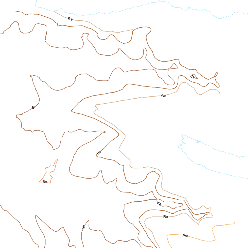
Þekja (layer) j100v_austurland_berggrunnurMork_1utg_li: Línur sýna þekkt mörk berggrunns. [Lines showing certain boundaries of bedrock.] Tilheyra flákagögn 'ni_j100v Berggrunnur á Austurlandi – 1:100.000' (j100v_austurland_berggrunnur_1utg_fl). [Follows the polygon data 'ni_j100v Berggrunnur á Austurlandi – 1:100.000' (j100v_austurland_berggrunnur_1utg_fl).]
-
Þekja [layer] j100v_vesturgosbelti_gigar_1utg_fl: Gígar frá nútíma og hlýskeiðum ísaldar. [Holocene and interglacial lava craters.] Gígar frá nútíma og hlýskeiðum ísaldar. Gígar eru gjall- eða kleppragígar. [Holocene and interglacial lava craters. Craters may be spatter, scoria or tuff cones.]