 Lýsigagnagátt
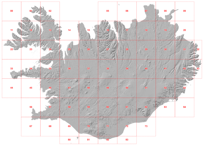
DEM
Type of resources
Available actions
Topics
INSPIRE themes
Keywords
Contact for the resource
Provided by
Years
Formats
Representation types
Update frequencies
status
Scale
-

IS: Í korstjánni er hægt að skoða hæðarlíkan af Íslandi og hlaða því niður. en: The Digital Elevation Model (DEM) Map from Náttúrufræðistofnun allows to view and download the DEM, find its derivative like slope and orientation and much more. ÍslandsDEM refers to "Digital Elevation Model (DEM) of Iceland" in English. A DEM is a digital representation of the Earth's surface topography, typically represented as a grid of elevation values. It provides information about the height or elevation of the terrain across a specific area, allowing for the creation of detailed three-dimensional representations of the landscape. DEM data is widely used in various applications, including geographic information systems (GIS), environmental modeling, land use planning, engineering design, and natural resource management. It can be used to analyze terrain characteristics, calculate slope and aspect, identify drainage patterns, model water flow, and assess landscape suitability for various purposes.
-
Íslenska: Frá 2015 hefur verið opið aðgengi að hæðargögnum af Norðurheimskautinu (norður af 60°N, þar með talið af Íslandi). Gögnin hafa gengið undir nafninu ArticDEM og eru frá Polar Geospatial Center sem er staðsett í University of Minnesota (https://www.pgc.umn.edu/data/arcticdem/). Gögnin urðu til við vinnslu mikils magns af landhæðarlíkönum, flest frá 2012 en elstu gögnin eru frá 2008. Landhæðarlíkönin eru unnin úr steríópörum af gervitunglamyndum frá WorldView 1-3 og GeoEye-1. Notast var við SETSM sem er opinn hugbúnaður fyrir stafrænar myndmælingar á Bluewaters ofurtölvu University of Illinois. Hvert landhæðarlíkan hefur 2x2 m upplausn og dekkar um 18X100 km stórt svæði á jörðu. Samstarf Náttúrufræðistofnunar, Veðurstofunnar og Polar Geospatial Center leiddi til þess að eftirfarandi aðferðir voru þróaðar til þess að vinna með gífurlegt magn gagna. Aðferðirnar eru: 1- Samræma staðsetningu allra landhæðarlíkana 2-Búa til samsett landhæðarlíkan úr öllum líkönunum með því að búa til þekju sem geymir tíma gagnanna. Hver pixill í samsetta líkaninu sem er unnið úr ArcticDEM er miðgildi allra líkana sem fyrirfinnast á svæðinu. English: Since 2015, elevation data from the Arctic (north of 60°N, including Iceland) started to be openly available through the ArcticDEM project, led by the Polar Geospatial Center, University of Minnesota (https://www.pgc.umn.edu/data/arcticdem/). This data consists of a large amount of Digital Elevation Models (DEMs) repeatedly acquired (multitemporal), typically from 2012-present, and the oldest data reaching back to 2008. The Digital Elevation Models (DEM) are derived from satellite sub-meter stereo imagery, particularly from WorldView 1-3 and GeoEye-1. The processing of the DEMs was done using SETSM, an open-source digital photogrammetric software, in the Bluewaters supercomputer (University of Ilinois). Each DEM has 2x2m resolution and a footprint of ~18x100km. In a collaborative effort between the Institute of Nature Research, the Icelandic Meteorological Office and the Polar Geospatial Center, we developed methods to handle and process a large amount of data available for Iceland. The methods developed consisted of: 1-Spatial adjustment of all the available DEMs, for homogeneity and consistency in the location of each individual DEM. 2-Robust mosaicking into one single DEM of Iceland, by taking advantage of the multi-temporal coverage of DEMs. Each pixel of the mosaic corresponds to a median elevation value from the possible elevations available from the ArcticDEM. For 3D printing the elevation model see: https://leidbeiningar.lmi.is/instruction/3dprinting
-

IS: Myndkort af atburðum sem hafa átt sér stað á Reykjanesi frá nóvember 2023 - april 2025 hafa orðið til í samstarfi Náttúrufræðistofnunar, Veðurstofu Íslands og Almannavarnir, sem hluti af viðbragðsáætlunum, hættumati og rannsóknum. Í öllum atburðum voru teknar loftmyndir og hæðarlíkön, útlínur hrauns útbúin ásamt myndkortum. Myndkortin eru aðgengileg í gegnum WMS þjónustu og á Umbrotasjá (https://kortasja.lmi.is/mapview/?application=umbrotasja). EN: Orthomosaics of the events occurring on the Reykjanes peninsula, SW Iceland, in November 2023- April 2025 have been created in a collaborative effort between the Natural Science Institute of Iceland (Náttúrufræðistofnun), the Icelandic Meterological Office (Veðurstofa Íslands), and the Civil Protection (Almannavarnir) as part of the response plans, hazard assessments and research. Upon each event, aerial photographs were collected and Digital Elevation Models (DEMs), lava outlines, and orthomosaics were produced of these events. The orthomosaics are available via WMS and in the Volcano Viewer webpage (https://kortasja.lmi.is/mapview/?application=umbrotasja). The data was created and distributed typically less than one day after data collection.