 Lýsigagnagátt
ArcticSDI_DEM
Type of resources
Available actions
Topics
INSPIRE themes
Keywords
Contact for the resource
Provided by
Formats
Representation types
Update frequencies
status
Scale
-
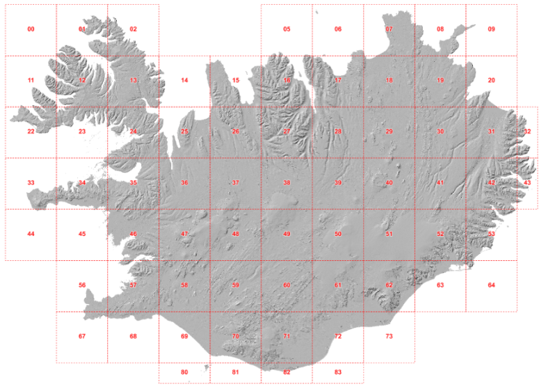
Íslenska: Frá 2015 hefur verið opið aðgengi að hæðargögnum af Norðurheimskautinu (norður af 60°N, þar með talið af Íslandi). Gögnin hafa gengið undir nafninu ArticDEM og eru frá Polar Geospatial Center sem er staðsett í University of Minnesota (https://www.pgc.umn.edu/data/arcticdem/). Gögnin urðu til við vinnslu mikils magns af landhæðarlíkönum, flest frá 2012 en elstu gögnin eru frá 2008. Landhæðarlíkönin eru unnin úr steríópörum af gervitunglamyndum frá WorldView 1-3 og GeoEye-1. Notast var við SETSM sem er opinn hugbúnaður fyrir stafrænar myndmælingar á Bluewaters ofurtölvu University of Illinois. Hvert landhæðarlíkan hefur 2x2 m upplausn og dekkar um 18X100 km stórt svæði á jörðu. Samstarf Náttúrufræðistofnunar, Veðurstofunnar og Polar Geospatial Center leiddi til þess að eftirfarandi aðferðir voru þróaðar til þess að vinna með gífurlegt magn gagna. Aðferðirnar eru: 1- Samræma staðsetningu allra landhæðarlíkana 2-Búa til samsett landhæðarlíkan úr öllum líkönunum með því að búa til þekju sem geymir tíma gagnanna. Hver pixill í samsetta líkaninu sem er unnið úr ArcticDEM er miðgildi allra líkana sem fyrirfinnast á svæðinu. English: Since 2015, elevation data from the Arctic (north of 60°N, including Iceland) started to be openly available through the ArcticDEM project, led by the Polar Geospatial Center, University of Minnesota (https://www.pgc.umn.edu/data/arcticdem/). This data consists of a large amount of Digital Elevation Models (DEMs) repeatedly acquired (multitemporal), typically from 2012-present, and the oldest data reaching back to 2008. The Digital Elevation Models (DEM) are derived from satellite sub-meter stereo imagery, particularly from WorldView 1-3 and GeoEye-1. The processing of the DEMs was done using SETSM, an open-source digital photogrammetric software, in the Bluewaters supercomputer (University of Ilinois). Each DEM has 2x2m resolution and a footprint of ~18x100km. In a collaborative effort between the Institute of Nature Research, the Icelandic Meteorological Office and the Polar Geospatial Center, we developed methods to handle and process a large amount of data available for Iceland. The methods developed consisted of: 1-Spatial adjustment of all the available DEMs, for homogeneity and consistency in the location of each individual DEM. 2-Robust mosaicking into one single DEM of Iceland, by taking advantage of the multi-temporal coverage of DEMs. Each pixel of the mosaic corresponds to a median elevation value from the possible elevations available from the ArcticDEM. For 3D printing the elevation model see: https://leidbeiningar.lmi.is/instruction/3dprinting