 Lýsigagnagátt
50000
Type of resources
Available actions
Topics
INSPIRE themes
Keywords
Contact for the resource
Provided by
Years
Formats
Representation types
Update frequencies
status
Scale
-
EN: Boundary of River Basin District(s) of Iceland as reported to WISE on 22.12.2018."River basin district" means the area of land and sea, made up of one or more neighbouring river basins together with their associated groundwaters and coastal waters, which is identified under Article 3(1) as the main unit for management of river basins.For further description of dataset fields and field values see GML schema here. http://dd.eionet.europa.eu/schemas/WFD2016/GML_RiverBasinDistrict_2016.xsd IS: Vatnaumdæmi Íslands miðað við skil inn í WISE upplýsingakerfið þann 22.12.2018. Vatnaumdæmi er stjórnsýslueining sem nær til íslenskra vatnasvæða ásamt árósavatni og strandsjó sem þeim tengjasteins og það er skilgreint í lögum nr. 35/2011 og reglugerð nr.935/2011 um Stjórn vatnamála. Nánari lýsing á eigindum og gildum gagnasettsins má finna í GML skema hér: http://dd.eionet.europa.eu/schemas/WFD2016/GML_RiverBasinDistrict_2016.xsd
-
EN: Boundary of Icelandic River Basin Sub unit(s) as reported to WISE on 22.12.2018. A "Sub unit" is a defined area that includes one or more catchments. For international reporting purposes only one Sub unit is used (ID: IS100) which covers the same area as the Icelandic River Basin District. For national management and reporting purposes there are four Sub Units (ID's: IS101, IS102, IS103, IS104). For further description of dataset fields and field values see GML schema here: http://dd.eionet.europa.eu/schemas/WFD2016/GML_SubUnit_2016.xsd IS: Afmörkun íslenskra vatnasvæða miðað við skil inn í WISE upplýsingakerfið þann 22.12.2018. "Vatnasvæði" er landsvæði með einu eða fleiri vatnasviðum. Vegna skýrslugjafar til Evrópusambandsins er aðeins eitt vatnasvæði notað (ID:IS100) sem nær yfir sama svæði og Vatnaumdæmi Íslands. Vegna innlendrar stjórnunar og skýrslugjafar eru fjögur vatnasvæði notuð (IDs: IS101, IS102, IS103, IS104). Nánari lýsing á eigindum og gildum gagnasettsins má finna í GML skema hér: http://dd.eionet.europa.eu/schemas/WFD2016/GML_SubUnit_2016.xsd
-

Gögnin sýna mörk þéttbýlisstaða samkvæmt skilgreiningu Hagstofunnar.
-
Ýmsar tölulegar upplýsingar úr manntali Hagstofunnar frá 2011, settar fram á smásvæðaskiptingu Hagstofunnar. Vinsamlega hafið samband við Hagstofuna vegna nánari upplýsinga.
-

Eldissvæði er svæði sem úthlutað er rekstarleyfishafa. Rekstrarleyfishafi hefur þá heimild til að hafa eldisbúnað til að ala fisk innan þess svæðis skv. skilyrðum rekstrarleyfisins.
-

Akkeri og baujur og áætlaðar staðsetningar fyrir búnað í sjókvíaeldi.
-

EuroRegionalMap is a Pan-European multi-functional topographic vector dataset at scale 1: 250000, that is seamless and harmonized across boundaries. It is produced in cooperation with the National Mapping Agencies of the participating countries using official national databases. The dataset covers 36 countries and is designed for business use. It enables you to process comprehensive spatial analysis. Transport and water networks have full connectivity and administrative boundaries are topologically consistent. The National Database (IS 50V at 1:50 000 was used to update the datasets. There are some natural deviations from ERM topology rules and feature selection criteria for Icelandic ERM data.
-
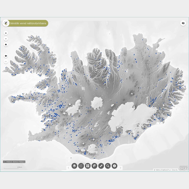
Þekja (layer) n50v_fossar_p: Fossar á Íslandi. (Waterfalls in Iceland.) Fossar og nánasta umhverfi þeirra að því leyti að sýn að þeim spillist ekki, njóta sérstakrar verndar samkvæmt 61 gr. í lögum um náttúruvernd. Náttúrufræðistofnun Íslands heldur skrá yfir þessi náttúrufyrirbæri og birtir í kortasjá sem jafnframt er viðauki við náttúruminjaskrá.
-
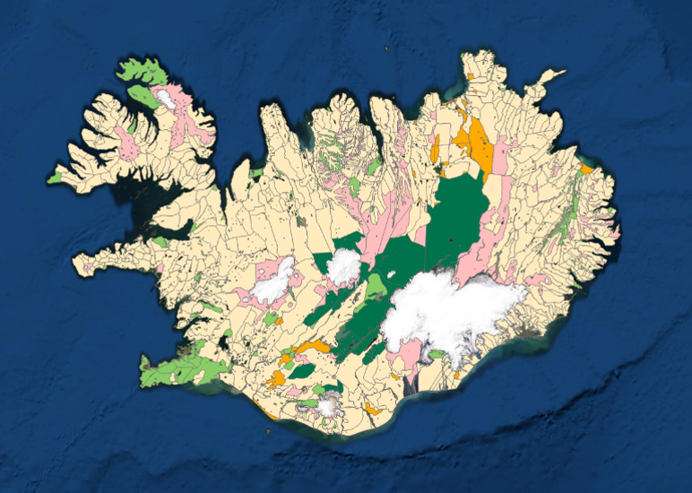
Kortlagning beitarlanda sauðfjár á Íslandi. Landupplýsingaþekjan fyrir beitarlönd sauðfjár er á vektorformi. Nákvæmni gagna miðast við mælikvarða 1:100.000. Frekari upplýsingar um aðferðafræðina á bak við kortlagningu beitarlanda sauðfjár má sjá í ritinu: : Jóhann Helgi Stefánsson, Sigríður Þorvaldsdóttir, Iðunn Hauksdóttir, Elín Fjóla Þórarinsdóttir, Bryndís Marteinsdóttir og Sigmundur Helgi Brink, 2020. Kortlagning beitarlanda sauðfjár á Íslandi. Rit Landgræðslunnar nr. 4. Gunnarsholt, Ísland. https://grolind.is/wp-content/uploads/2020/06/Kortlagning-beitilanda-2020.pdf Landgræðslan og Skógræktin voru sameinaðar 1. janúar 2024 og ber stofnunin heitið Land og skógur.
-
Þann 16. mars 2011 gáfu Náttúrufræðistofnun út í fyrsta sinn sameiginlegt hæðarkerfi fyrir Ísland. Kerfið er kallað Landshæðarkerfi Íslands og er viðmiðunin ISH2004. Tilkoma sameiginlegs hæðarkerfis markaði stór tímamót í sögu landmælinga á Íslandi. Á sama hátt og viðmiðunin ISN93 skapaði grundvöll fyrir alla til að vinna í sama hnitakerfi mun ISH2004 skapa grundvöll fyrir alla til að vinna í sama hæðarkerfi. Eitt samræmt hæðarkerfi er mikilvægt fyrir ýmsar framkvæmdir s.s. vegagerð og jarðgangnagerð og á ýmsum sviðum umhverfisvöktunar, skipulags og áætlanagerðar. Auk þess munu gögnin nýtast við rannsóknir á jarðskorpuhreyfingum eða breytingum á yfirborði sjávar. Mælingar á Landshæðarkerfinu eru standa ennþá yfir og frá fyrstu útgáfu þess árið 2011 hafa bæst við eftirfarandi línur hallamælilínur. • Flókalundur-Bolungavík • Reykjavík-Keflavík • Endurmæling á Suðurlandi vegna jarðskjálftans 2008 • Hellisheiði • Reykjanesbraut-Grindavík • Þjóðvegur 1-Akranes • Kjölur Niðurstöður nýrra mælinga verður bætt inn í þetta gagnasett um leið og þær liggja fyrir.