 Lýsigagnagátt
Type of resources
Available actions
Topics
INSPIRE themes
Keywords
Contact for the resource
Provided by
Years
Formats
Representation types
Update frequencies
status
Service types
Scale
Resolution
-

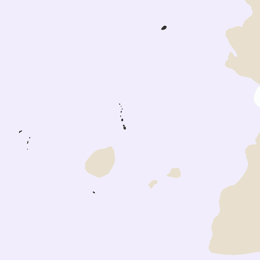
Umsóknin um Þingvelli á heimsminjaskrá var lögð fram í febrúar 2003 og var hún samþykkt á fundi heimsminjanefndar UNESCO í júlí 2004. Þingvellir eru þjóðgarður sem var með lögum stofnaður árið 1930.
-

Þekja sem sýnir halla lands í gráðum byggt á landlíkani Náttúrufræðistofnunar (IslandsDEM útg. 1). Aðeins er sýndur halli á ákveðnu bili sem miðast við algengan upptakahalla snjóflóða. Litir og flokkun halla er ætluð til að hjálpa ferðafólki í fjalllendi að meta halla í brekkum með tilliti til upptakahalla snjóflóða. Þekjuna er hægt að birta sem myndkorta-flísar (XYZ, 512x512 pixlar) í Web-Mercator vörpun (EPSG:3857). Sniðmát fyrir slóðina á flísarnar eru: https://geo.vedur.is/geoserver/www/imo_slopemap_epsg3857_v1/{z}/{x}/{y}.png Skýringarmynd fyrir litakvarða er aðgengileg hér: https://geo.vedur.is/geoserver/www/imo_slopemap_epsg3857_v1/Legend_box_v1.png
-
Þekja [layer] j100v_vesturgosbelti_berggrunnurNidurfoll_1utg_fl: Niðurföll í nútímahraunum. [Collapse pits in Holocene lavas.}
-
Niðurhalsþjónustur Byggðastofnunar
-
Skoðunarþjónustur Mast
-
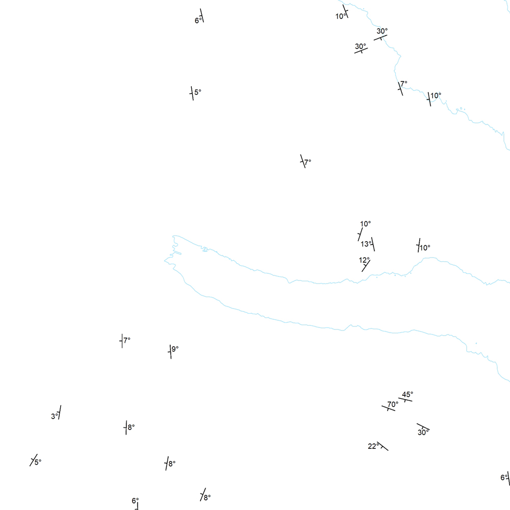
Þekja (layer) j100v_austurland_strikHalli_1utg_p: Strik og hallastefna jarðlaga. [Strike and dip of the deposits.] Staðsetning mælinga á striki og hallastefnu jarðlaga á Austurlandi. [Locations of measurements of strike and dip of the deposits in Eastern Iceland.]
-

Upplýsingar um eldissvæði í sjókvíaeldi sem eru í umsóknarferli hjá Matvælastofnun.
-

Í gögnunum er að finna upplýsingar um staðsetningu og umfang friðlýstra minjasvæða á Íslandi sem Minjastofnun Íslands hefur friðlýst í samræmi við lög nr. 80/2012 um menningarminjar.
-

Íslenskum skipum eru bannaðar veiðar með botnvörpu, flotvörpu og dragnót í fiskveiðilandhelgi Íslands nema á þeim veiðisvæðum og veiðitímum sem tilgreind eru í 5. grein laga nr. 79 um veiðar í fiskveiðilandhelgi Íslands. Viðmiðunarlínan er dregin umhverfis landið á milli punkta sem eru taldir upp í lagagreininni. Vinsamlega hafið samband við Landhelgisgæslu Íslands vegna nánari upplýsinga.
-

Gögin upplýsingar um strok og tjón sem hefur átt sér stað sjókvíeldi. Hægt er að sjá hvar strokið átti sér stað, hvenær og hverskonar fiskur strauk. Einnig er hægt að sjá hvort hjón var á búnaði eða gat á kví. Fyrir frekari upplýsingar er bent á að hafa samband við matvælastofnun.